2024 Ride Maps
-

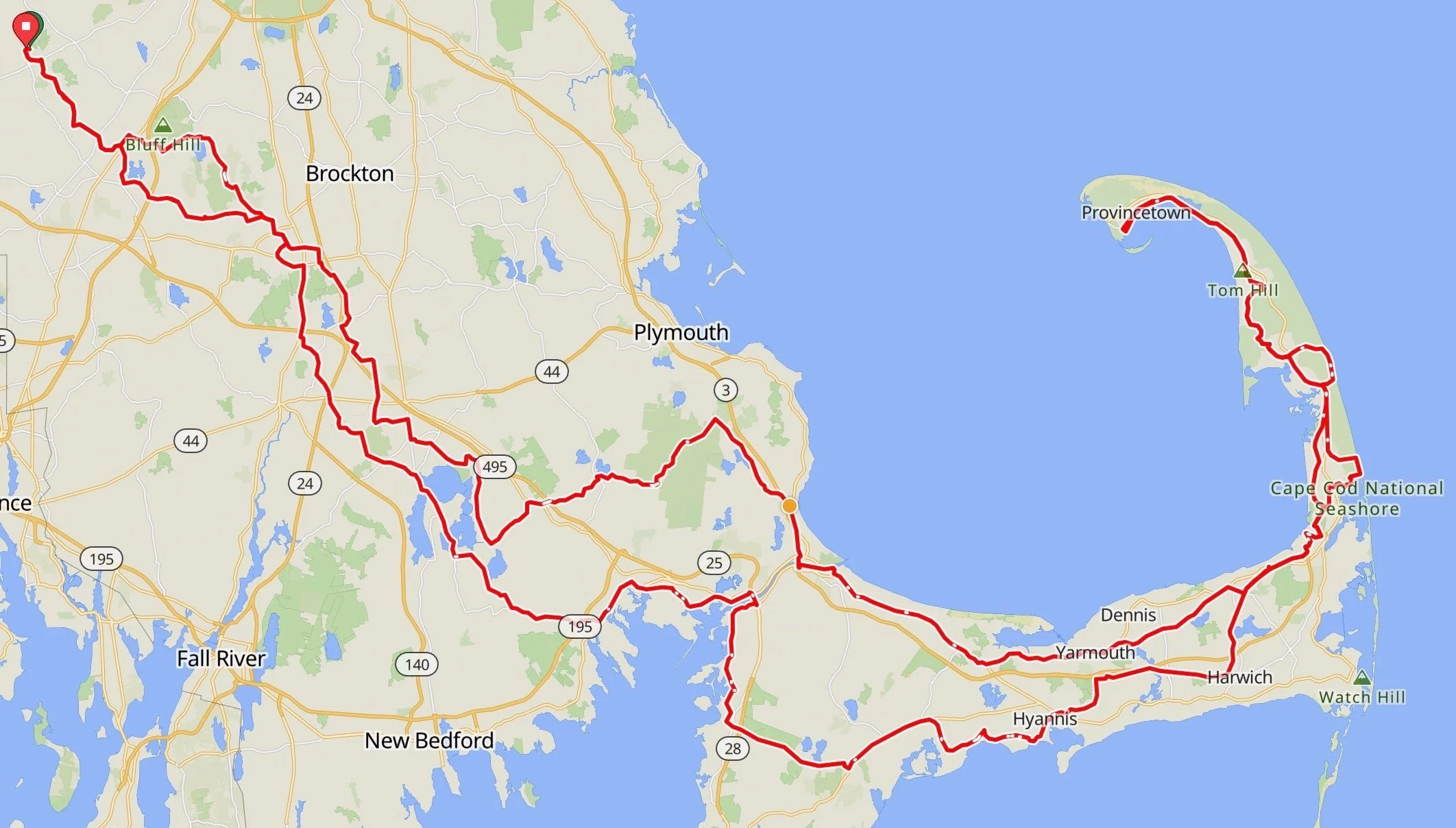
Cape Loop
2023 Ride Maps
-

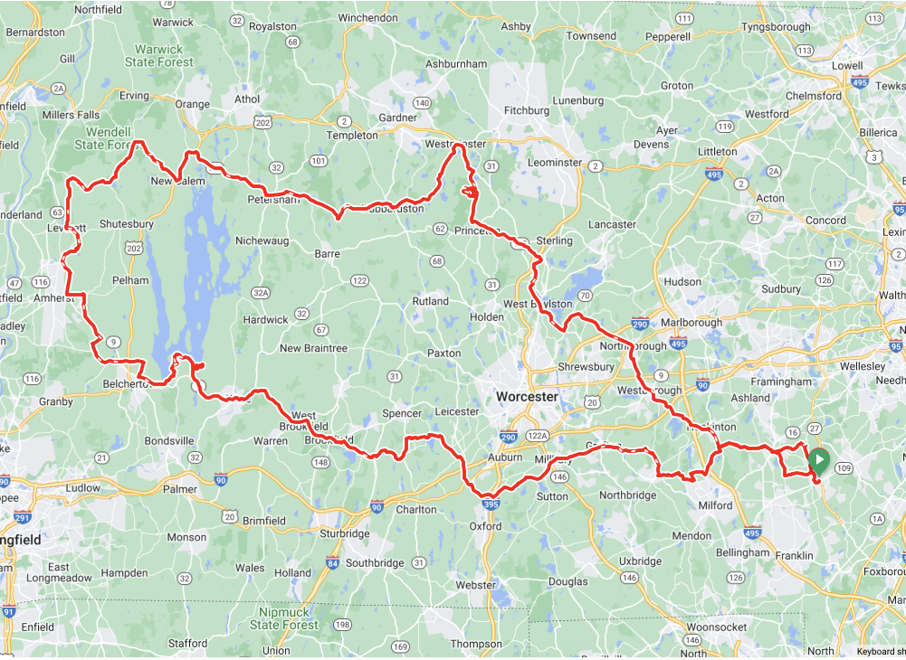
Day 1
205 Miles // 15,000 feet elevation
Millis - Grafton - Ware - Belchertown - Amherst - Shutesbury - New Salem - Petesham - Nichewaug - Barre - Westminster - Mount Wachusett - Princeton - Lovellville - West Boylston - Northborough - Westborough - Hopkinton - Holliston - Millis
-

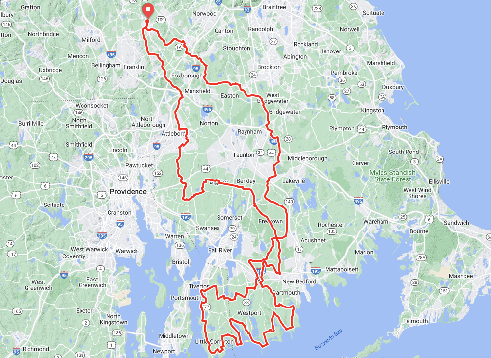
Day 2
202 miles // 7,300 feet elevation
Millis - Attleboro - Rehoboth - Freetown - Westport - Tiverton - Adamsville - Russel Millis - Bayview - Dartmouth - Noquochoke Wildlife Management Area - Faunce Corner - Myricks - East Taunton - Cam Titicut - Olde Scotsland - Cochesett - Walpole - Millis
Ride4Claire StraVA HISTORY
